| Skip
to content |
|
Urban Freight Case Studies - Washington, DCGeographic DescriptionWashington, DC is located on the banks of the Potomac River and is bordered by the states of Virginia to the southwest and Maryland to the north and southeast. The city has a resident population of nearly 600,000;2 however, the city's population rises to over 980,000 during the workweek due to commuters from the surrounding suburbs.3 The Washington Metropolitan area has a total population of 5.3 million, making it the eighth largest metropolitan area in the country. The District has 1,500 miles of streets and 245 bridges.4 By vehicle, Washington, DC is accessible via several major highways, including I-95, I-66, US Route 50, and US Route 1 (Figure 1). Other modes of transportation in and around the District include Amtrak, which provides service into Union Station near the U.S. Capitol, and CSX freight rail. The Washington Metrorail System, commonly known as Metro, serves the District of Columbia and the Northern Virginia and Maryland suburbs. The Washington Metropolitan Area Transportation Authority (WMATA) operates Metro and a comprehensive bus transit system that also serves the metropolitan area. Figure 1: Study Area Location Map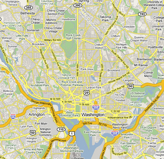
Source: Google Maps 2 U.S. Department of Commerce, Census Bureau, Population Estimates, Metropolitan Statistical Areas (Washington, DC: 2008). 3 U.S. Department of Commerce, Census Bureau, 2000 Census: Estimated Daytime Population (Washington, DC: 2005). 4 U.S. Department of Transportation, Bureau of Transportation Statistics, State Transportation Statistics 2007 (Washington, DC: 2008), tables 1-1 and 1-7. |
|
United States Department of Transportation - Federal Highway Administration |
||