Integrated Modeling for Road Condition Prediction:
Can IMRCP be a window into the future?
Printable version [PDF 736 KB]
Contact Information: Operations Feedback at OperationsFeedback@dot.gov

U.S. Department of Transportation
Federal Highway Administration
Office of Operations
1200 New Jersey Avenue, SE
Washington, DC 20590
ops.fhwa.dot.gov
FHWA-HOP-20-058
September 2020
What If?
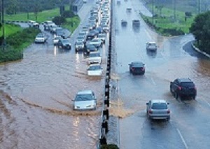 What would we do differently if we had better information about future travel conditions on the nation's roadways?
Source: Getty Images
What would we do differently if we had better information about future travel conditions on the nation's roadways?
Source: Getty Images
- State departments of transportation had the capability hours before a snow storm to see how traffic would react to the weather and road conditions?
- A regional transportation management center (TMC) had additional insight into the effect heavy rainfall may have on a major highway during a work zone or incident lane closure?
- You could identify the best time and route to use to get home safely before the upcoming snow storm?
The Federal Highway Administration (FHWA) initiated research in 2015 to develop the Integrated Modeling for Road Condition Prediction (IMRCP) system. This innovative prototype system makes those what if statements plausible. IMRCP could help support a transportation agency's overall safety and strategic operations decisions.
Overview
The IMRCP tool gathers historical, real-time, and forecast data from a variety of sensor systems and models. These data and models include atmospheric and road weather, hydrology, traffic, work zones, winter maintenance operations, incidents, special events, and demand models. The IMRCP system then combines all of this information in predicting road and travel conditions. The online IMRCP system includes an interactive map, notifications, and reports. Using controls within the map, users can view traffic, weather, and road condition predictions into the future, as well as analyze past events.1
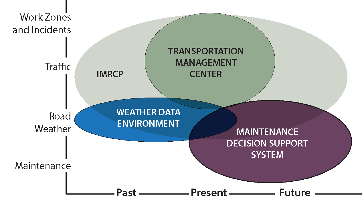 Graph shows past, present, future along the X-axis; maintenance, road weather, traffic, and work zones and incidents along the Y-axis. Components, from left to right, IMRCP, Weather Data Environment, Transportation Management Center, and Maintenance Decision Support System.
IMRCP complements and other road weather and operation applications.
Source: FHWA
Graph shows past, present, future along the X-axis; maintenance, road weather, traffic, and work zones and incidents along the Y-axis. Components, from left to right, IMRCP, Weather Data Environment, Transportation Management Center, and Maintenance Decision Support System.
IMRCP complements and other road weather and operation applications.
Source: FHWA
IMRCP can benefit transportation agency operations by complementing other tools that use similar data sets. As shown in the figure, IMRCP extends user awareness of traffic and road conditions into the future, beyond the capabilities of typical TMC tools and road weather information systems. IMRCP can share road weather data and forecasts with maintenance decision support systems (MDSS) while adding the traffic forecast perspective, but it does not provide direct winter maintenance guidance of an MDSS.
Benefits and Applications
IMRCP is shaping up to be a promising complementary tool for transportation agencies to help better plan and facilitate safety and operational strategies and decisions.
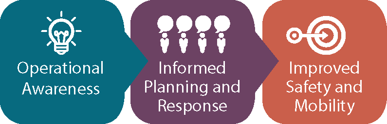
Operational Awareness
IMRCP can offer TMC staff, winter maintenance staff, and other decision makers improved insight and overall awareness of the effect of impending weather on traffic. Agencies can monitor multiple types of information such as traffic, pavement state, pavement and air temperatures, precipitation, wind, flooding, and more.
Informed Planning and Response
With the enhanced operational awareness and predictive analytics, agencies can better plan and make strategic decisions. For example, the capability of viewing future impacts may prompt the agency to issue news releases or social media alerts, update the staffing plans for incident responders or snowplow drivers, change work zone plans, arrange for alternate traffic routes, enact traffic controls (e.g., variable speed limits, variable message signs, ramp metering, road closure gates), or activate other response scenario plans. Agencies can also use IMRCP and the collected data to analyze past events, determine lessons learned, measure performance, and guide future strategic decisions.
Improved Safety and Mobility
As an additional tool in an agency's toolbox, IMRCP may help transportation agencies achieve improved safety and mobility for highways. This improvement may be attributed to effective traffic management, improved incident or winter maintenance response, and timely traveler information and communication.
Kansas City Scout's Deployment and Experience
FHWA partnered with Kansas City Scout (KC Scout) throughout the duration of the research project. Select staff at KC Scout used and tested the IMRCP periodically throughout the 2018-2019 and the 2019–2020 winter seasons. Overall, operators indicated they liked the precipitation, weather, and pavement status predictions, but did not have enough experience with the tool to become confident in utilizing the traffic predictions. The extended awareness can help them prioritize and focus their attention to particular roadway sections or areas, which in turn may improve their communication and decisions relating to motorist assist deployments.
"In addition to IMRCP’s predictive aspect, another benefit is to be able to ‘look backwards’ to assess the winter maintenance response efforts and emergency operation staffing decisions. Insight gained could potentially help save money and staffing resources."
Nancy Powell, Missouri Department of Transportation's Project Lead for IMRCP
Learn More
U.S. Department of Transportation · Office of Operations · Road Weather Management
1200 New Jersey Ave, E 86-318 · Washington, DC 20590
Jawad Paracha · (202) 366-4628 · jawad.paracha@dot.gov
David Johnson · (202) 366-1301 · david.johnson@dot.gov
https://ops.fhwa.dot.gov/weather/