
Best Practices for Road Weather Management Version 2.0
Title:
Application of Road Weather Information Systems in the Western United States
Abstract:
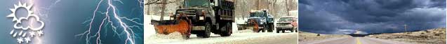
MesoWest software links weather observations from roughly 350 stations in the NWS surface aviation network and 2,100 additional stations, including RWIS stations. MesoWest collects and processes data from over 40 organizations. MesoWest data is available in Montana, Nevada, Utah and Wyoming through cooperative agreements between local NWS offices and state DOT agencies.
Source(s):
81st American Meteorological Society Annual Meeting; 17th International Conference on Interactive Information and Processing Systems (IIPS) for Meteorology, Oceanography, and Hydrology; University of Utah and Utah DOT
Date: 2001
Author:
Horel, Splitt, Conger
Keywords:
Road Weather Information System (RWIS)
Weather information
Observing network
PDF files can be viewed with the Acrobat® Reader®.
